Home>Wind Profilers>Radar Wind Profilers>Radar Wind Profiler LAP®3000 - Standard Antenna
LAP®3000 - Standard Antenna

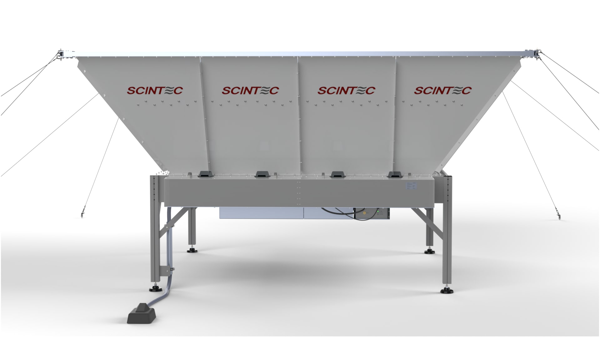
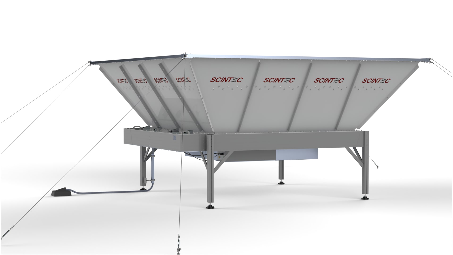
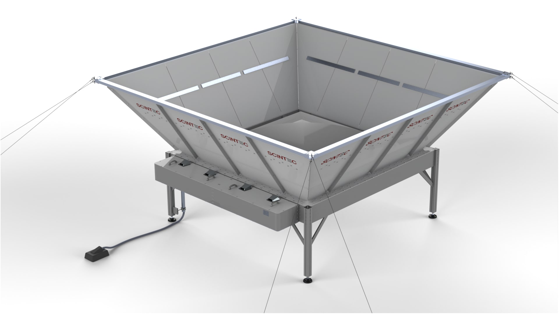
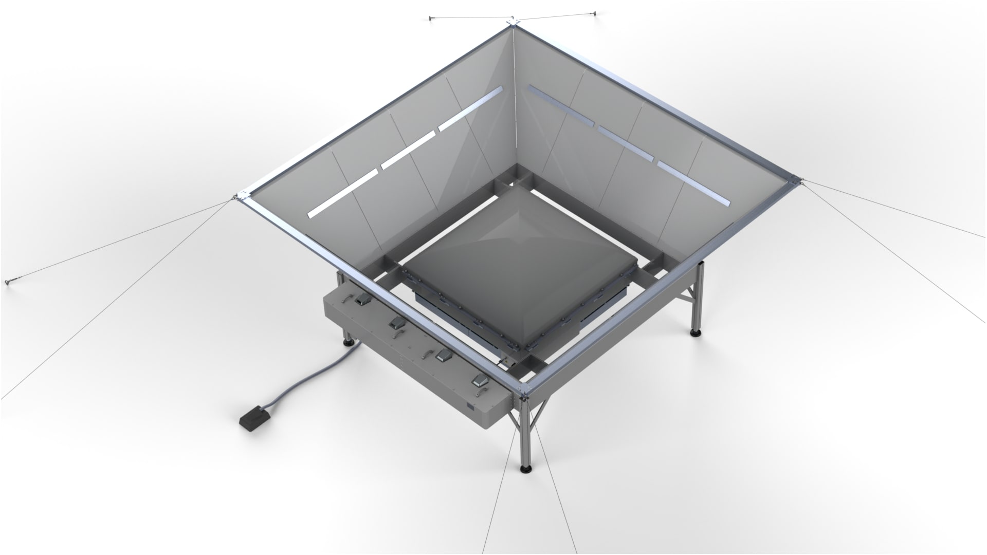
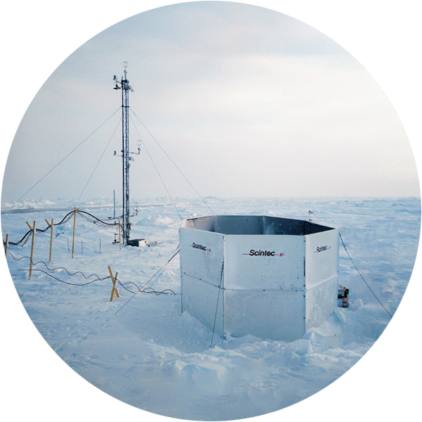
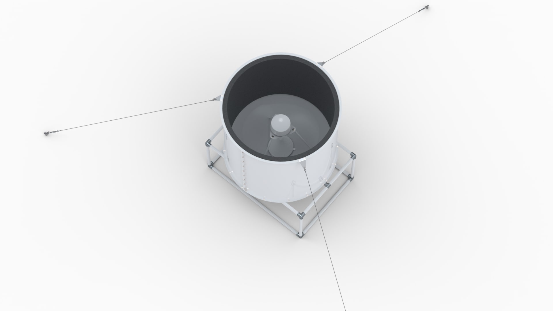
This is the standard model of the LAP®3000 Radar Wind Profilers for reliable and continuous wind measurements up to a height of 4 km above the ground with proven performance. The integrated clutter screen yields optimum ground-clutter suppression and ensures safety by shielding the RF radiation. Multiple radio-frequency variants are available for use in different frequency allocation regions worldwide.

Features
maximum height 4 km above the ground
radio frequency in the 900 to 1400 MHz range
antenna aperture 3 m², no moving parts
integrated clutter screen
5 beams, 4 horizontally tilted and 1 vertical
SIRP digital IF processor for unmatched performance
powerful software for Windows 11, 10, Server 2022/2019
extensive self-test and real-time monitoring
modular, robust design
long service life

Specifications
Parameter
Specification
Operating frequency
915 MHz, 1280 MHz, 1290 MHz, 1299.21 MHz, or 1357.5 MHz.
Other operating frequencies available on request.
Antenna type
Flat antenna with micro-patch phased array.
Electronically steered.
Antenna aperture
3 m²
Antenna radiating elements
For 915 MHz
64 elements
For 1280 MHz, 1290 MHz, 1299.21 MHz, 1357.5 MHz
144 elements
Number of simultaneously radiating phased-array elements.
Antenna directivity gain
For 915 MHz
24.9 dBi
For 1280 MHz
28.1 dBi
For 1290 MHz
28.2 dBi
For 1299.21 MHz
28.2 dBi
For 1357.5 MHz
28.6 dBi
Number of beams
5 beams: 4 oblique beams and 1 vertical beam.
Beam tilt angle
For 915 MHz
22.4°
For 1280 MHz
15.8°
For 1290 MHz
15.7°
For 1299.21 MHz
15.6°
For 1357.5 MHz
14.9°
Tilt angle from zenith for the oblique beams.
Beam width
For 915 MHz
10.4°
For 1280 MHz
7.2°
For 1290 MHz
7.1°
For 1299.21 MHz
7.1°
For 1357.5 MHz
6.8°
Full width between -3 dB points in one-way transmission pattern.
Transmitter output power
For 915 MHz
800 W
For 1280 MHz, 1290 MHz, 1299.21 MHz
1000 W
For 1357.5 MHz
700 W
Peak envelope power, nominal.
Pulse width
265 to 3340 ns
Configurable via software.
Minimum height
100 m
Dependent on pulse width, meteorological conditions, and surrounding clutter environment.
Maximum height
Up to 4 km in clear air and beyond in precipitation.
Dependent on configuration, meteorological conditions, and environment.
Height resolution
40 to 500 m
Configurable via software. Defined by pulse width.
Wind speed accuracy
< 1 m/s
Wind direction accuracy
< 10°
Measurement range of horizontal wind components
-100 to 100 m/s
Larger measurement ranges configurable via software.
Measurement range of vertical wind components
-20 to 20 m/s
Larger measurement ranges configurable via software.
Averaging time
3 to 60 min
Configurable via software. Typically 10 to 60 min. Running averages supported with update intervals down to 1 min.
Output data
Horizontal wind speed and direction, wind components U/V/W, standard deviations of wind, backscatter, precipitation fall speed, moments, spectra, time series of I/Q samples, quality flags.
Data displays
Wind barbs, vector plots, time vs. height color plots, profile plots, time series plots, spectra plots, tabular displays.
Data reprocess
Output data can be recalculated by reprocessing time series, spectra, moments or main data.
Configuration
Configuration with graphical user interface.
No manual editing of configuration files required.
Real-time monitoring
Real-time monitoring during measurement includes monitoring of internal voltages, currents, temperature, RF power.
Self-test
Fully automatic self-test includes testing of internal voltages, currents, RF power, system noise, dynamic range, external RF interferences.
File formats
Supported output file formats include standard ASCII formats, NetCDF, WMO BUFR, NOAA Winds, CMA (China), MRI (Japan), KWPN (Korea), LAP-XM compatible, Avimet XML, user-defined formats.
Other and customized output file formats available on request.
Network data output
Automatic data transfer to external servers via FTPS, FTP, TCP, UDP, shared network folders.
Network plot output
Automatic creation of plot image files and transfer to external servers via FTPS, FTP, shared network folders.
Live plots via web browser, customizable.
Network time synchronization
Automatic time synchronization with an external network time server via NTP.
Network supervision
System status can be retrieved via SNMP or status files.
Operating system compatibility
Windows 11, Windows 10, Windows Server 2022, Windows Server 2019.
Dimensions of antenna structure
4.2 x 4.2 x 2.3 m
Including integrated clutter fence.
Installation area for antenna structure
7.4 x 7.4 m
Including guy wires and ground-mounting, without RASS extension.
Operating conditions for outdoor components
Temperature: -40 °C to +50 °C.
Relative humidity: 0 to 100 %.
Operating conditions for indoor components
Temperature: +10 °C to +35 °C.
Relative humidity: 0 to 80 %, non-condensing.
Power requirements
AC power input: 100 to 240 V, 50 to 60 Hz, single-phase, 2300 W.
Average power consumption: typically 100 to 350 W.
Accessories
RASS Extension for LAP®3000

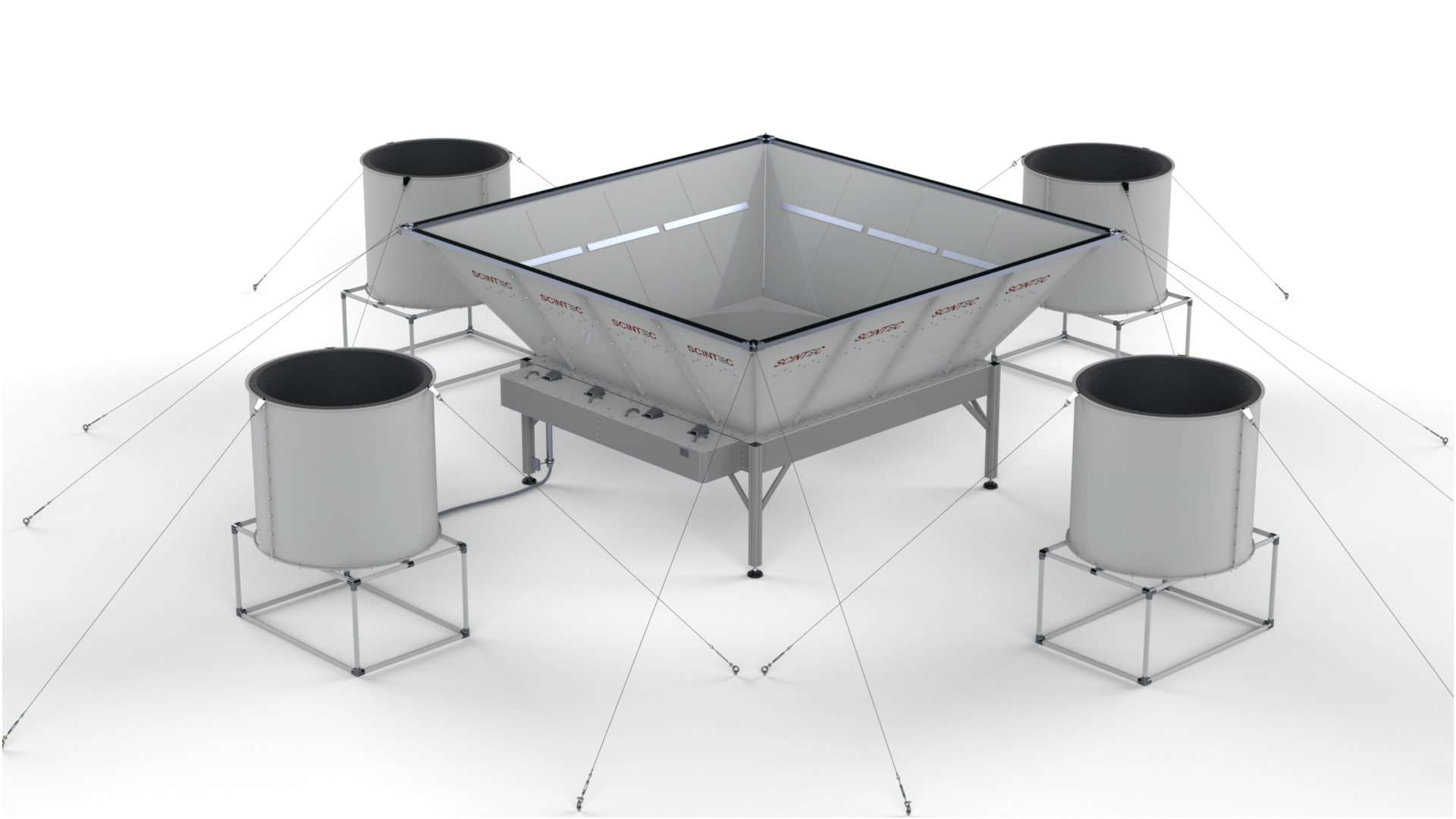
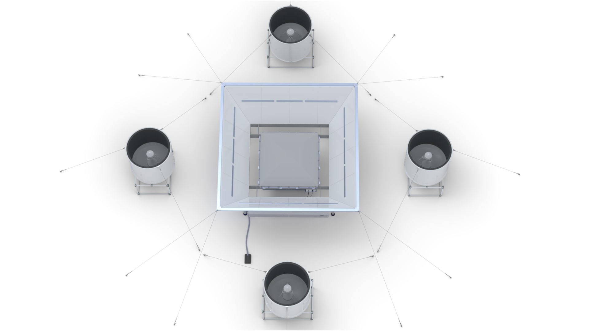
This RASS Extension adds the capability for measuring temperature profiles to a LAP®3000 Radar Wind Profiler.
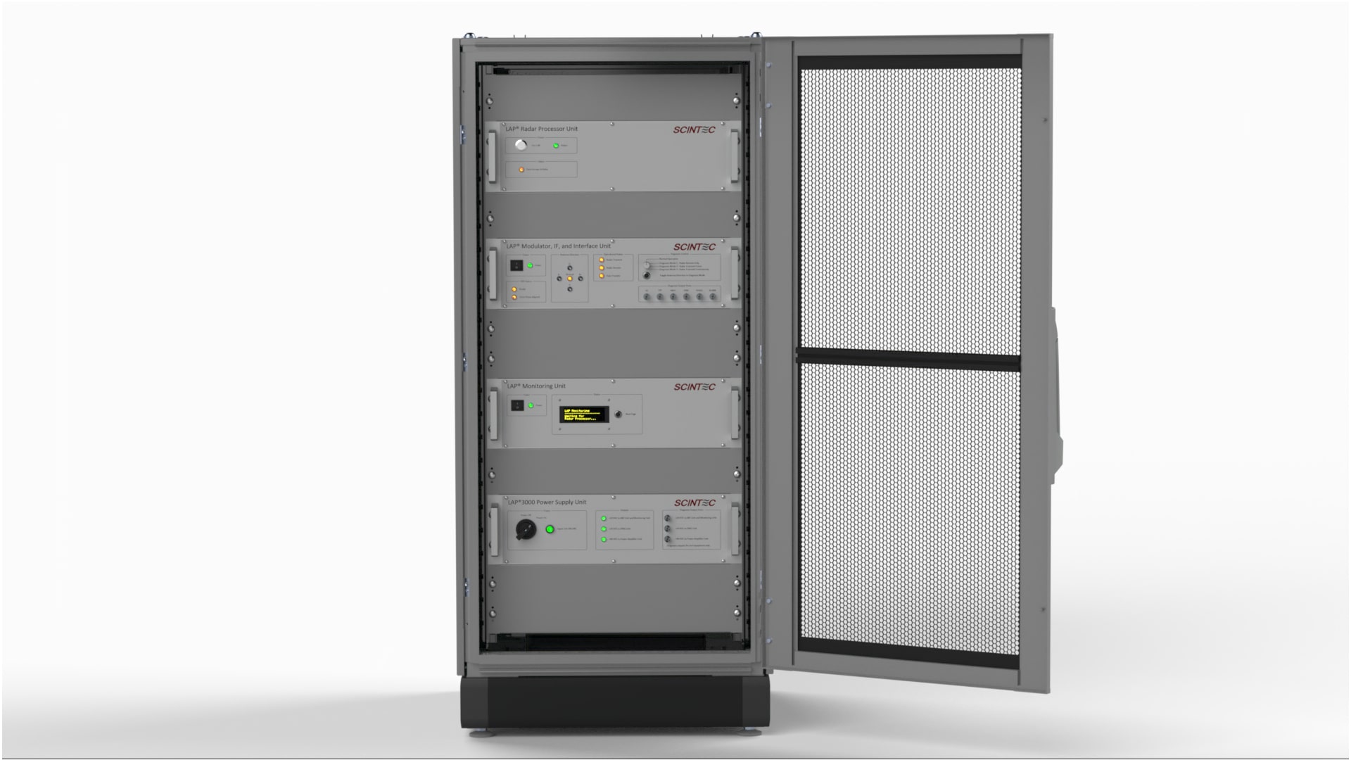
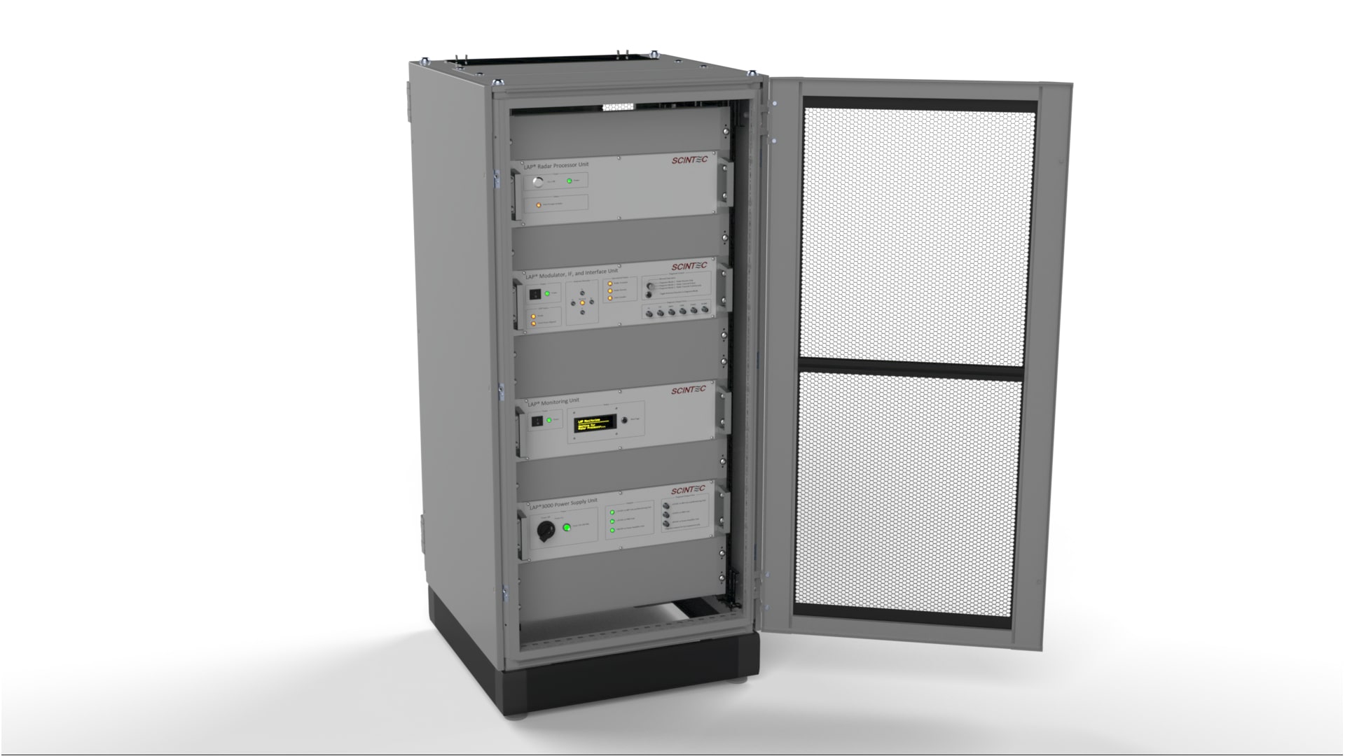
Uninterruptible Power Supply (UPS)
for LAP®3000

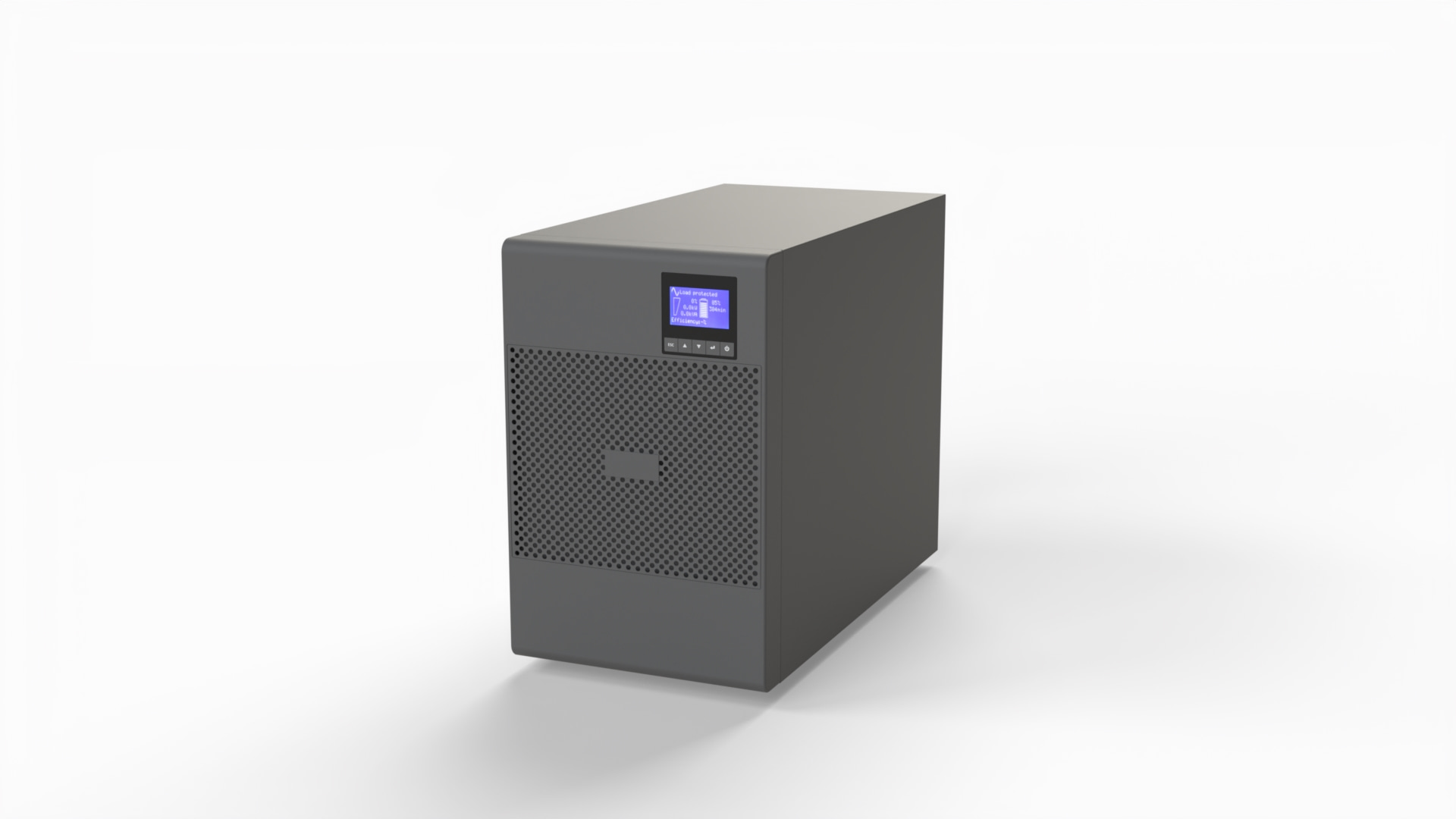
The UPS provides backup power to a LAP®3000 Radar Wind Profiler for at least 20 minutes at full system operation.

Related Products
Radar Wind Profiler LAP®3000 - Large Antenna

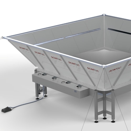
The larger antenna aperture of this model provides the highest performance and clutter resilience that the most critical applications demand.

Radar Wind Profiler LAP®8000

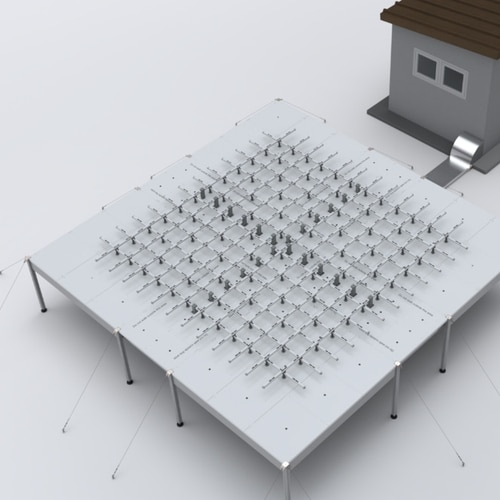
This model operates on a lower radio frequency and achieves the highest measurement range.

AWAIRE® Aviation

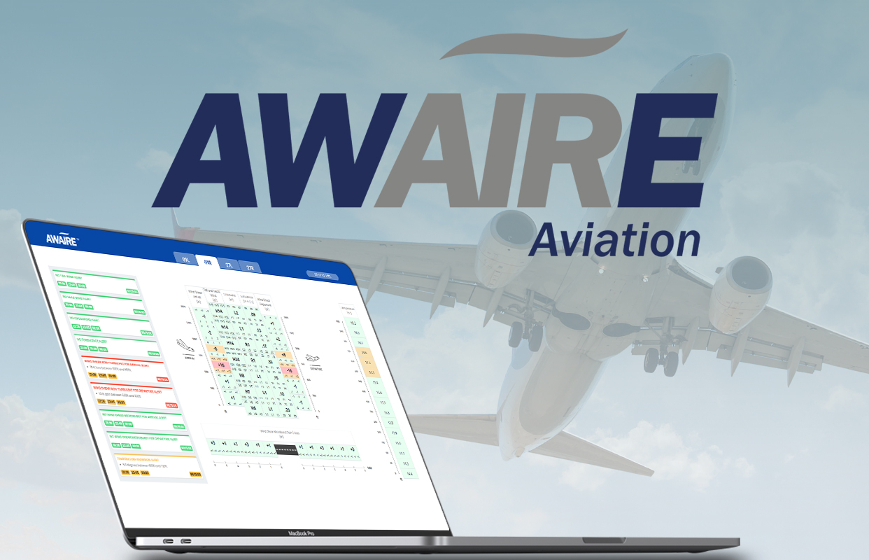
AWAIRE Aviation is a hardware, software and service package which is designed to provide the most complete, accurate and reliable information about upper winds and temperatures and to bring this to airport controllers, managers, meteorologists and pilots. AWAIRE Aviation uses a variety of the most advanced sensing technologies to continuously measure all relevant wind, temperature and turbulence parameters in the area of the departure and climb paths with high distance resolution, precisely and in near real-time. This includes wind speed and direction relative to the airplane as well as both, turbulence (EDR), vertical wind shear and density altitude.